Trail Walking Les Combes - Remonot 8 octobre 2020 CAF - Photo

Remonot 8 octobre 2020 CAF

© OpenStreetMap contributors
Length
Length
21 km
Max alt
Max alt
1001 m
Uphill gradient
Uphill gradient
842 m
Km-Effort
Km-Effort  
32 km
Min alt
Min alt
751 m
Downhill gradient
Downhill gradient
842 m
Boucle
Boucle
Yes
Creation date :
2020-10-08 15:29:54.36
Updated on :
2020-10-10 21:16:50.704

(0 Reviews)

Walking
Walking
6h44
Difficulty : Difficult

Scan this QR Code to open this trail in the SityTrail application

FREE GPS app for hiking

Logo SityTrail SityTrail

IGN / Geographical institutes

Download SityTrail from the App Store Download SityTrail from Google Play

Logo SityTrail SityTrail World

The world is yours!

Download SityTrail from the App Store Download SityTrail from Google Play Download SityTrail on Huawei AppGallery

About

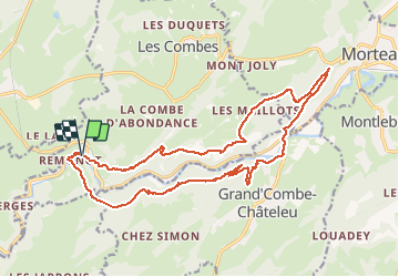
Trail Walking of 21 km to be discovered at Bourgogne-Franche-Comté, Doubs, Les Combes. This trail is proposed by TRIMAILLE.

Description

Dénivelé affiché 842 m. Cependant certains participants affichaient un dénivelé autour de 1000m.

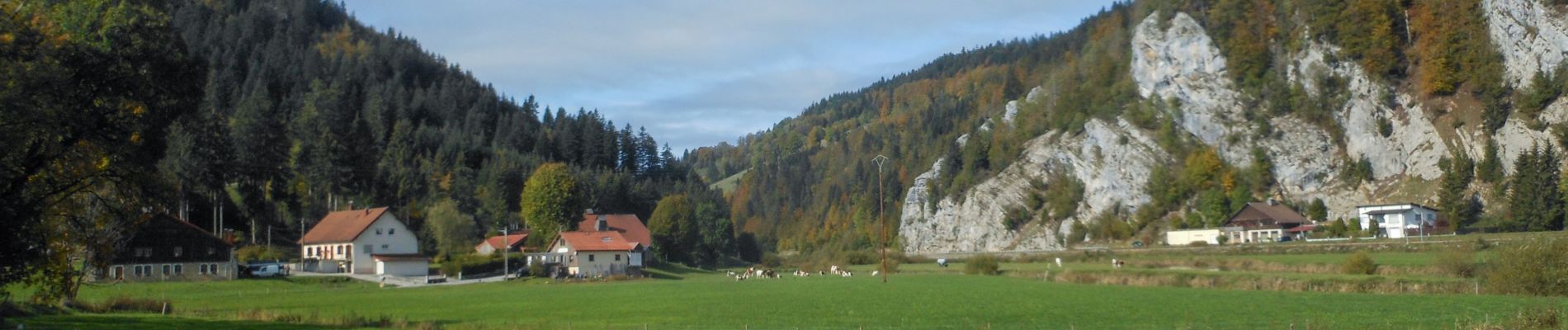
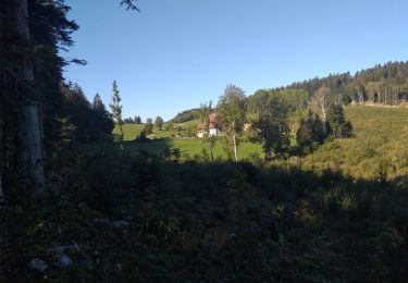
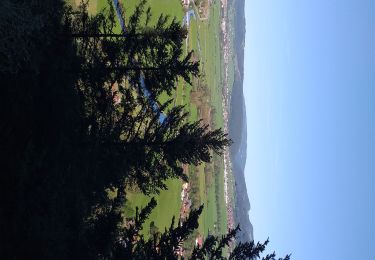
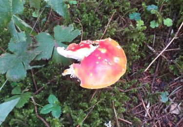
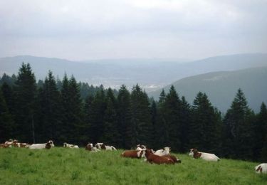
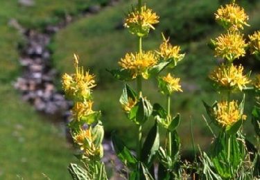
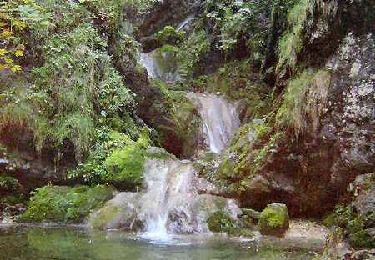
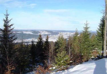
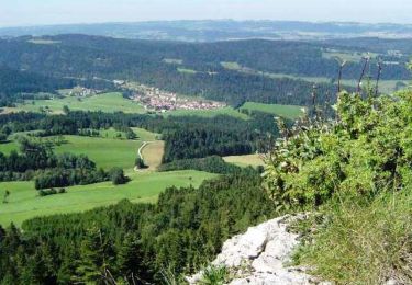
Départ du parking de la grotte de Remonot. Agréable rando majoritairement dans les bois. De beaux panoramas sur les Doubs, le Haut Doubs et les Alpes. A voir Les belvèdères, la Table du Roi, le sapin Président,  et les grottes.

Attention: A partir de la grotte km 18, le sentier est très raide et comporte quelques mains courantes, ainsi que 2 courtes échelles. Rien de bien impressionnant.
Cependant si vous souhaitez inverser le sens de la randonnée, tenir compte de ces éléments, car ce passage peut être davantage dangereux dans le sens de la descente et notamment en cas de pluie rendant le sentier glissant.

Elevation profile

Photos

Positioning

Country:
France
Region :
Bourgogne-Franche-Comté
Department/Province :
Doubs
Municipality :
Les Combes
Location:
Unknown
Start:(UTM)
311156 ; 5212078 (32T) N.

Trails nearby

Trail Walking Les Gras - Les Gras
Walking
eltonnermou

Walking

Medium
Les Gras, Bourgogne-Franche-Comté, Doubs, France
13.3 km | 19 km-effort
4h 35min
Yes
Trail Walking Grand'Combe-Châteleu - Grand Combe Chateleu  - Photo
Walking
eltonnermou

Walking

Very difficult
Grand'Combe-Châteleu, Bourgogne-Franche-Comté, Doubs, France
17.2 km | 27 km-effort
6h 5min
Yes
Trail Walking Les Gras - les gras - Photo
Walking
eltonnermou

Walking

Medium
Les Gras, Bourgogne-Franche-Comté, Doubs, France
14 km | 21 km-effort
5h 3min
Yes
Trail Walking Les Gras - Le mont Châteleu - Photo
Walking
tracegps

Walking

Medium
Les Gras, Bourgogne-Franche-Comté, Doubs, France
18.5 km | 29 km-effort
5h 30min
Yes
Trail Walking Les Gras - Le Mont Châteleu - Doubs - Photo
Walking
tracegps

Walking

Difficult
(1)
Les Gras, Bourgogne-Franche-Comté, Doubs, France
12.8 km | 20 km-effort
4h 0min
Yes
Trail Walking Les Gras - Le Mont Chateleu - Photo
Walking
tracegps

Walking

Difficult
(1)
Les Gras, Bourgogne-Franche-Comté, Doubs, France
14.4 km | 22 km-effort
4h 30min
Yes
Trail Mountain bike Les Combes - Espace VTT FFC Val de Morteau - Circuit n° 86 - La Motte variante - Photo
Mountain bike
tracegps

Mountain bike

Difficult
(1)
Les Combes, Bourgogne-Franche-Comté, Doubs, France
21 km | 27 km-effort
2h 0min
Yes
Trail Mountain bike Les Gras - Espace VTT FFC Val de Morteau - Circuit n° 13 - Les Gras - Photo
Mountain bike
tracegps

Mountain bike

Difficult
Les Gras, Bourgogne-Franche-Comté, Doubs, France
16.2 km | 24 km-effort
2h 30min
Yes
Trail Bicycle tourism Gilley - Vélo au sauverais - Photo
Bicycle tourism
CTR

Bicycle tourism

Difficult
Gilley, Bourgogne-Franche-Comté, Doubs, France
27 km | 33 km-effort
2h 25min
No


Close
My subscriptions